
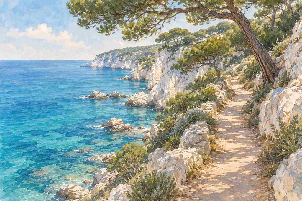
In short: The Cap Ferrat coastal path is a set of public walks around the Saint-Jean-Cap-Ferrat peninsula. The two main sections are the Pointe Saint-Hospice loop, 1.8 km and about 40 minutes, and the Tour du Cap, 4.8 km and about 1h30. The flat Promenade Maurice Rouvier adds 1.3 km to Beaulieu. Paths close in heavy swell or strong wind.
Most of Cap Ferrat is private: villas behind walls, gates and hedges. The coastal path is the exception, a public footpath that runs around the edge of the peninsula past coves, lighthouses and some of the most expensive gardens in Europe. This guide sets out the routes using the Saint-Jean-Cap-Ferrat tourist office, the Nice Côte d’Azur tourist office and an independent walking guide, and explains why the path exists at all. It is written by an independent guide to the cape; for the background, start with our history of Saint-Jean-Cap-Ferrat.
Some definitions. The sentier du littoral is the French name for a coastal footpath. A servitude is a legal right of way over private land. The domaine public maritime is the state-owned shoreline, the strip of land and sea that belongs to the public. An anse is a small bay or cove.
How long is the Cap Ferrat coastal path?
It depends on how you count. The Saint-Jean-Cap-Ferrat tourist office lists three trails: the Promenade Maurice Rouvier at 1.3 km one way, the Pointe Saint-Hospice loop at 1.8 km and the Tour du Cap at 4.8 km. The Nice Côte d’Azur tourist office describes the Saint-Hospice and Tour du Cap sections as one large loop that can be walked in full or in two parts. The independent Nice and Beyond guide, which strings all three together from Beaulieu-sur-Mer to Passable beach, gives a total of 7.9 km and about three hours, or three to four with stops.
| Section | Distance | Time | Difficulty |
|---|---|---|---|
| Promenade Maurice Rouvier | 1.3 km one way | 20 minutes | Easy, paved, step-free |
| Pointe Saint-Hospice | 1.8 km | 40 minutes, 1 hour with the chapel | Easy |
| Tour du Cap | 4.8 km | 1h30 | Medium, not for those with a fear of heights |
Distances and times come from the Saint-Jean-Cap-Ferrat tourist office.
The Pointe Saint-Hospice loop
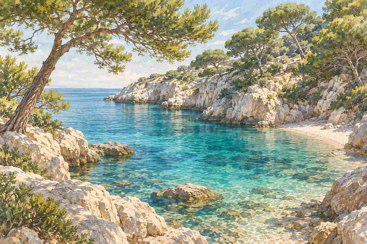
The shorter loop starts at the Jardin de la Paix, on the eastern side of the peninsula. The tourist office says a nature trail with six observation points explains the coastal heritage of what is a listed site. The path follows a forest of maritime pines to the Pointe du Colombier, where the limestone has been carved by salt and spray.
A side path, the Edmund Davis path, climbs about 100 metres to the top of Pointe Saint-Hospice, where you will find the Saint-Hospice chapel, a bronze statue of the Virgin dating from 1903, the Belgian military cemetery and a seaside cemetery; allow 20 minutes for the detour. From the tip of the point the tourist office says you can see Cap Martin, Monaco and Italy. The path then reaches the Anse de la Scaletta and Paloma beach before steps lead back to the road. The tourist office has noted seasonal access changes on this loop, so check its page before setting out.
The Promenade Maurice Rouvier
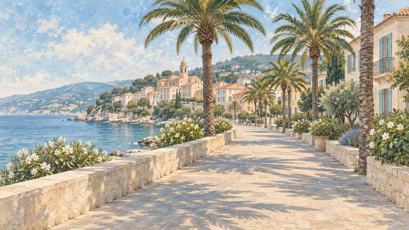
The easiest walk on the cape runs from opposite the town hall in the village to Beaulieu-sur-Mer. The tourist office says it is fully tarmacked with no steps, so it suits pushchairs and wheelchair users. The route looks across to Pointe Saint-Hospice, then to the villages of La Turbie and Èze on the cliffs and, on a clear day, to Italy. It passes Place David Niven, named after the actor who loved the village, a path up to the Villa Ephrussi de Rothschild, and the Villa Kérylos, now a museum, before ending at Beaulieu’s beach and the Port des Fourmis.
The Tour du Cap
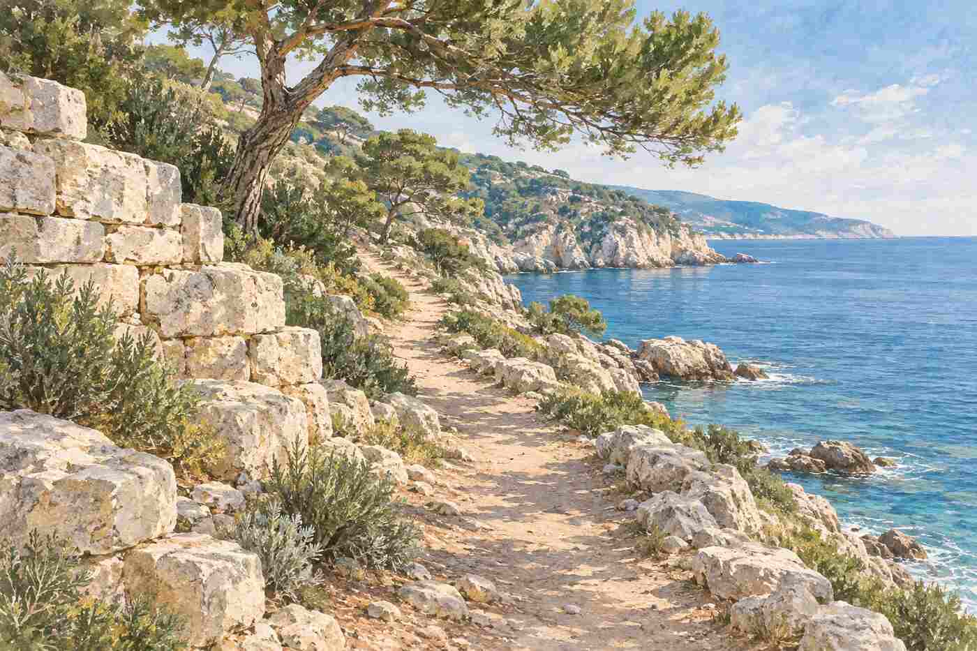
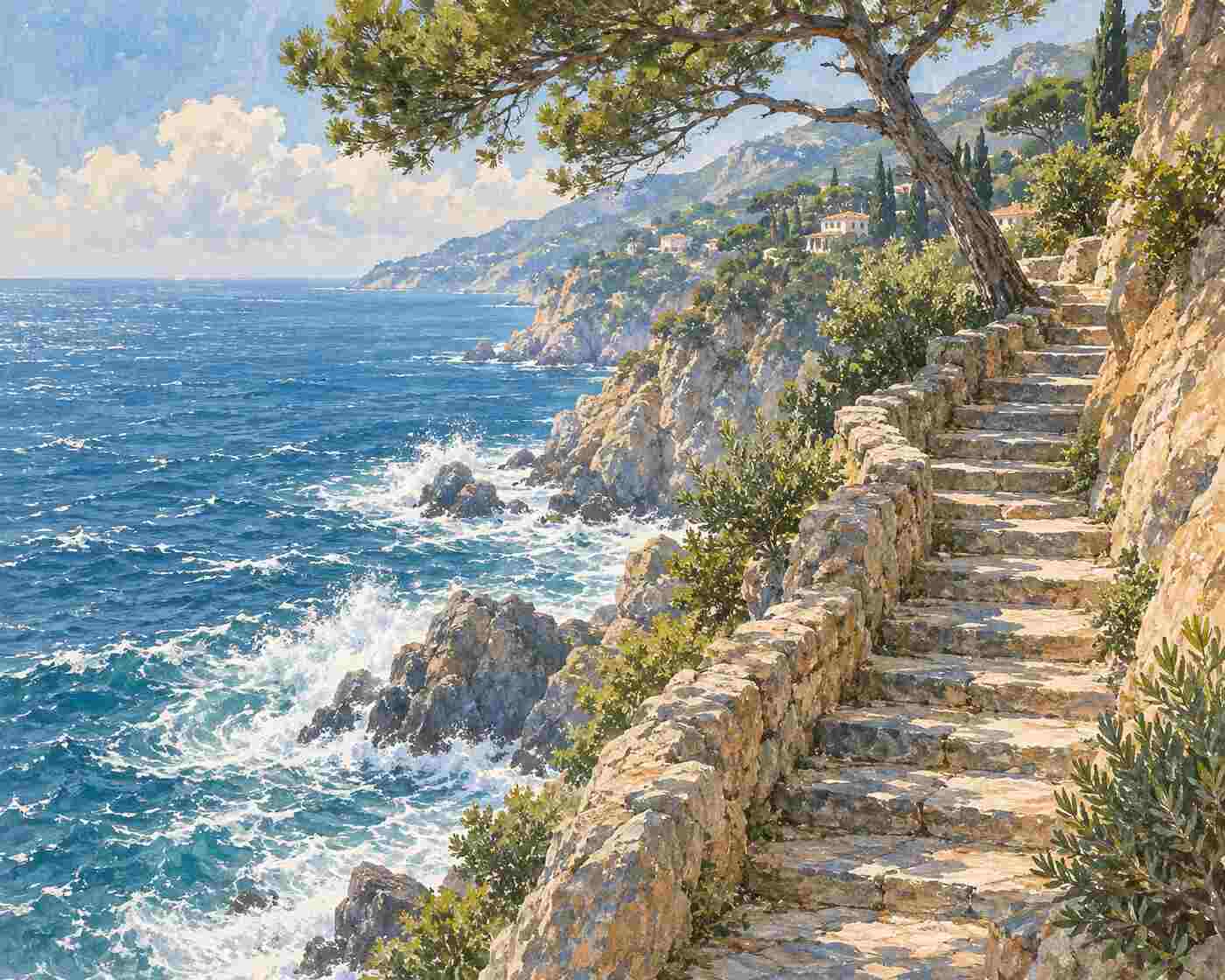
The longer walk starts on the Chemin de la Carrière, named after an old quarry. According to the tourist office, its stone was used to build the port of Monaco. The path follows the coast below the Grand-Hôtel du Cap-Ferrat and its seawater pool, then reaches the lighthouse and Pointe Malalongue. From the foot of the lighthouse, both tourist offices say the view on a clear day stretches across to Cap de Nice and the Esterel mountains.
On the western side, coves follow one after another. Nice and Beyond describes this as the most remote section, with a dirt trail of rocks, roots and uneven steps after the southern tip, little shade on the southern cliffs and few places to buy food. The walk ends at Passable beach, a west-facing beach with views towards Villefranche-sur-Mer. The tourist office notes that because of safety work on the Lido cliff, access from Passable is by Chemin du Roy and then Chemin du Lido.
Why the path is public
The path exists because of French law. A law of 31 December 1976 created a pedestrian right of way along the coast, and the Littoral law of January 1986 added rights of way down to the shore, according to the Var prefecture. Article L121-31 of the Urban Planning Code, as published on Légifrance, says private properties bordering the public maritime domain are subject to a three-metre-wide servitude reserved exclusively for pedestrians.
There are limits. Under article L121-33, the servitude cannot normally apply within 15 metres of a house built before 1 January 1976, or to land next to houses enclosed by walls on that date, unless it is the only way to keep the path continuous. A French Senate answer explains that the right of way applies automatically, while changing or suspending its route needs a formal procedure. This is the legal basis that lets a public path run past the private villas of Cap Ferrat.
Practical tips and closures
The tourist office warns that in bad weather, with swell or strong wind, access to the trails may be prohibited, and gives the tourist office and municipal police as the contacts to check. Nice and Beyond recommends shoes with good grip, sun protection on the southern cliffs and a light layer for the evening at Passable. It says Lignes d’Azur bus 15 links Nice with the peninsula in about 30 minutes and stops near Passable, and that the train runs to Beaulieu-sur-Mer, close to the start of the promenade.
Because the peninsula faces both east and west, one side is usually sunny while the other is in shade, the same guide notes. Swimming is possible at several coves; Nice and Beyond names Plage de la Gavinette as a favourite.
Key takeaways
- The tourist office lists three walks: 1.3 km on the promenade, 1.8 km around Saint-Hospice and 4.8 km on the Tour du Cap.
- Linked together from Beaulieu to Passable, the route is about 7.9 km and three hours, according to Nice and Beyond.
- The Tour du Cap is rated medium and not recommended for those afraid of heights; the promenade is step-free.
- The path is public under a 1976 law creating a three-metre pedestrian right of way, and it can be closed in bad weather.
Common questions
Is the Cap Ferrat coastal path difficult?
The Promenade Maurice Rouvier and the Saint-Hospice loop are rated easy by the tourist office. The Tour du Cap is rated medium and is not recommended for people with a fear of heights, because parts of the western side are rocky, narrow and uneven.
Where does the Cap Ferrat coastal walk start?
The Saint-Hospice loop starts at the Jardin de la Paix, the Tour du Cap at the Chemin de la Carrière and the promenade opposite the town hall. The Nice tourist office suggests starting from the port of Saint-Jean-Cap-Ferrat and walking the shorter Saint-Hospice section first.
Can you swim along the coastal path?
Yes, at several points. The tourist office route passes Paloma beach in the Anse de la Scaletta and ends at Passable beach, and Nice and Beyond recommends Plage de la Gavinette. Watch the swell, since the paths themselves close in rough weather.
Is the path ever closed?
Yes. The Saint-Jean-Cap-Ferrat tourist office says access may be prohibited in heavy swell or strong wind, and it has published seasonal access changes and cliff safety works. Check with the tourist office or municipal police before you go.
How we put this together: routes, distances, times and closure rules come from the Saint-Jean-Cap-Ferrat tourist office; the combined loop comes from the Nice Côte d’Azur tourist office; total length, terrain, transport and tips come from Nice and Beyond; the legal background comes from the Var prefecture, Légifrance and the French Senate. We note where the distances differ.
Sources
- Saint-Jean-Cap-Ferrat Tourisme: Walking trails
- Nice Côte d’Azur Tourist Office: Coastal paths
- Nice and Beyond: Cap Ferrat coastal walk
- Préfecture du Var: Sentier du littoral
- Légifrance: Code de l’urbanisme, coastal pedestrian servitude
- Sénat: Mise en oeuvre des servitudes de passage des piétons le long du littoral